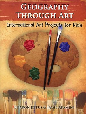
You might think the idea of teaching art through geography a bit strange, but as you will see, it actually makes a lot of sense. Geography Through Art can be used primarily for art instruction with geography as the source of ideas, or you can use the art activities to buttress history and geography studies, picking and choosing lessons that align with countries as you study them. There are more than 100 art projects in the book, so it is hard to image how you would complete all of them in one year.
Activities are identified with one, two, or three stars to indicate the level of difficulty: primary, intermediate and secondary. Think of these as threshold levels rather than that activities are only for one level. Older students can always tackle easier projects, adding embellishments or using more-challenging art media. Sometimes suggestions are given for adapting an activity for older or younger students. Parents can judge for themselves which activities are likely to be appropriate for their students.
All students should begin with the first lessons on the “World." While all but one of the activities here are for the intermediate level, I think younger students can tackle most of them. Students will use chalk on black paper to draw a picture of the globe as they become familiar with positive and negative space. Next, they create a paper-mache globe and paint it. “World” lessons continue with creation of a Pangea puzzle, drawing and labeling a world map, and creating an artistic treasure map. All of these lessons are relatively easy and introduce students to various art media with craft-type activities. “Art Tips” at the front of the book offer valuable tips on choosing and using the various art media.
After completing the first lessons in the “World” section, you can proceed in whatever order you wish through the continents and countries. Lessons are grouped under Africa, Asia, Australia, Europe, North America, and South America, with lessons on selected countries from each continent rather than every country—activities are from 27 countries in all.
Each continent section begins with a geographic introduction with one page of cultural/historic information along with a discussion of its physical geography. You can use the “Illustrated Geography Terms Template” at the back of the book for students to create their own illustrated definitions of geography terms (six terms and drawings per page). Outline maps at the back of the book can also be used for mapwork; directions for map activities are at the front of the book.
After the geographic introduction, lessons shift to art projects for individual countries. For example, for India, students begin with a miniature painting using watercolors, gel pens, and metallic paint. Then older students can create a batik on fabric using paraffin wax and fabric dye. Instructions are also given for an easier version of batik done on construction paper with crayons and poster paint. Students then do a Quicksketch of an elephant. The final lesson on India is sketching the Taj Mahal and painting it with watercolors. Templates for some activities are included at the back of the book.
Quite a few lessons include “QuickSketch” activities with simple sketching steps for drawing animals (such as the elephant), birds, insects, buildings, and famous monuments (such as the Taj Mahal). Some basic drawing skills are mentioned within some lessons. For example, for the sketch of the Great Wall of China, students are told to draw things that are nearer larger than things that are far away to make the drawing more realistic. But drawing skills are not taught systematically. You will need another resource for that type of instruction.
You will need to gather quite a few art supplies, so plan ahead. Instructions are relatively brief, so once you have your art supplies on hand, each lesson should not require much lesson preparation time.
Many lessons have an internet resources icon. Geography Matters hosts a page for Geography Through Art where they maintain links to sites with interesting content connected to lessons. Some links will be important for students to see more examples or images to inspire them before working on a project.
Watch for a “fork and knife” icon next to the country name at the beginning of a country section. This icon means there are recipes for foods representative of that country in the companion book Eat Your Way Around the World.
Geography Through Art can be used on its own, but it should work well with unit studies or even as a supplement to a standard geography text. Geography Matters’ own publications, Trail Guide to World Geography and Trail Guide to U.S. Geography, both include references to activities in Geography Through Art that can enhance these more-intensive geography courses. Also, lessons in Geography Through Art tie in well with another Geography Matters' unit study, Galloping the Globe, even though there are no direct references there.
The authors recommend that students create a three-ring binder notebook where they can compile their geography work as well as some of their actual art projects. They can take photos of projects too large for the notebook and insert those as well.
However you use it, students are likely to enjoy the variety of art activities in Geography Through Art, and if you use the geography learning opportunities, students are likely to make connections between countries and their cultures that they will remember.

