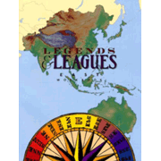
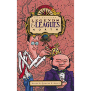
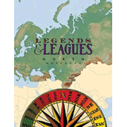
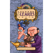
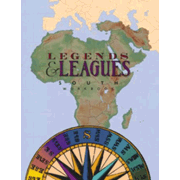
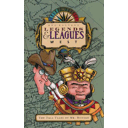
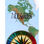
The Legends and Leagues geography series teaches geographical knowledge in a unique format. For each grade level, there is a full-color storybook and a workbook. Each level also incorporates either or both of Geography Songs or States and Capitals Songs from Audio Memory. All of that sounds fairly standard, but it’s not!
Legends and Leagues is a multi-sensory program with mapwork, craft activities, puzzles, and songs. It is also story-based.
The storybook for each course features Mr. Azimuth Latitude and Mr. Meridian Longitude, who work at the “overstuffed offices” of Legends & Leagues, Ltd. The first storybook gives you the best images of their fantastic office where they keep their magical maps, cartography equipment, books, and memorabilia from their travels. The maps serve as transportation portals to places distant in both space and time.
The first storybook, written for students about first or second grade level, is much briefer than the other books. While on the way to an appointment, Mr. Elmo Tardy meets Mr. Latitude and Mr. Longitude who delay him with their fabulous map collection and all sorts of interesting information about maps, geography, and time zones.
For the next four courses, storybooks expand into chapter books with 16 chapters each. And the adventures expand into time travel and all sorts of fantastic adventures. Along the way, students learn actual geography and history, but they also learn legends and tales from different cultures.
With the first course, you read the complete storybook first—probably in one sitting, then spend the rest of the year using the workbook to teach and review information introduced throughout the story with a geography lesson once a week. Workbook activities are hands-on: drawing, an experiment, coloring, and cut-and-paste activities. This black-and-white workbook is reproducible for your classroom or home.
The other four courses labeled South, East, North, and West are laid out differently. They are all written at the same academic level, so you may use them in whatever order you wish. Veritas suggests using them for grades two through five since the topics align somewhat with their other history coverage even though it’s not a direct alignment. (East doesn’t align well with Veritas’ third grade material, but it does introduce coverage of the Far East that is otherwise very minimal.)
For these four courses, you read one chapter from the storybook then work on the lesson pages from the workbook. Each chapter and its workbook pages should take about two class sessions to complete and should probably be done on subsequent days. You can complete one chapter every two weeks over a year or you can complete two courses per year.
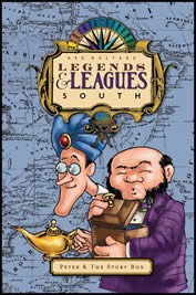
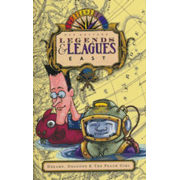
While the first course is a general introduction to geography in general, the other four courses take readers on journeys that loosely reflect compass directions. There’s a sort of fantasy theme for each storybook as well. The fantasy themes are loosely based on fictional characters. Legend and Leagues South: Peter and the Story Box features Peter Pan. North’s character is based on Alice in Wonderland, East on the Peach Girl, and West on Paul Bunyan. Stories intertwine fact and legend.
While this is very entertaining, using only the storybooks might leave children without clear distinctions as to fact and fiction. The workbooks reinforce the factual knowledge. Workbooks for these four courses are printed in full color and are not reproducible. Each chapter has a number of workbook pages, but there are always a story worksheet, two map pages, and “Exploring” activity pages for each map page. Story worksheets list vocabulary words and definitions to present before reading each chapter, followed by comprehension questions for students to answer after hearing the chapter. Exploring activity pages generally have straightforward, map-reading questions divided into two groups; one group is to be completed by younger students while older students complete both groups.
Other activity pages are included randomly. These are labeled Map Skills, Local, Flavor, Legends, Sightseeing, and Souvenirs. Map Skills pages show up frequently, and these teach basic skills such as interpreting map legends and understanding scale. The other activity pages include instructions for recipes, map-making, and other hands-on activities. These pages are optional, so choose those that are most appealing to your own children.
Audio Memory’s Geography Songs is used at all levels. Audio Memory’s States and Capitals is added with West, and you might also use it with the first course. Lesson plans indicate when to sing the various songs.
The reading level of the storybooks is such that they all are best used as read-alouds. There will be many vocabulary words that are unfamiliar to students. Some vocabulary words are presented in the workbooks, and you definitely should cover these in advance. But the stories include words not in the vocabulary lists. For example, in chapter seven of North, the story includes the words Strigoi, Transylvania, Czech, and Slovakia among the 84 words on only the first page of the story; and none of these words is covered in the vocabulary list. That’s a lot of new vocabulary to introduce, and this happens frequently in the storybooks. While the first course is very understandable for students in first and second grade, because of the vocabulary, the other four courses seem ideal for about fourth through sixth grades and even for junior high if you complete two courses per year.
Students will definitely learn a lot of geographical information through these courses. I really like this combination of storybooks and workbooks, and even the mixture of fact and legend, and I suspect that most children will too.
Note: You can view free sample pages on the publisher's website.

