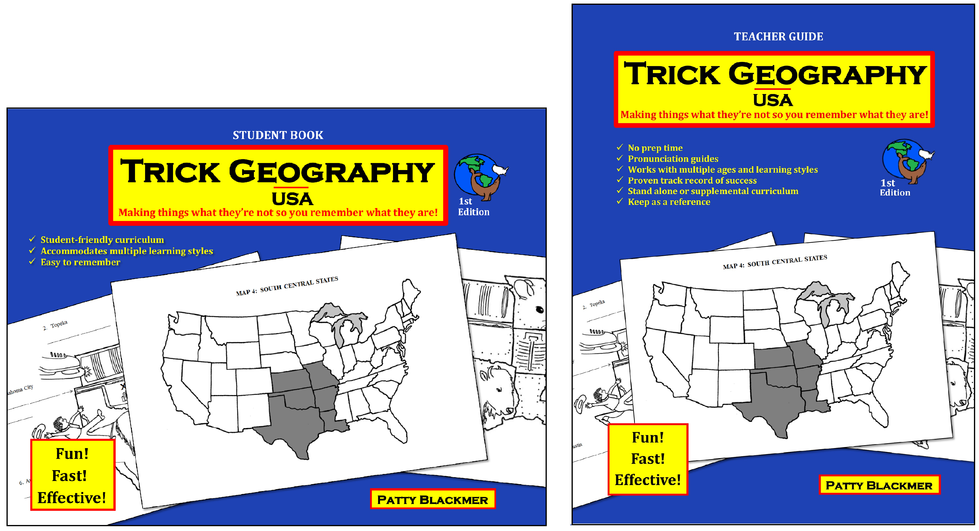
Trick Geography began with Trick Geography World and Trick Geography USA. Four additional sets have been added on Africa, The Americas and Oceania, Asia, and Europe. Each of the four newest editions is similar to the USA set in layout and schedule. I think it makes sense to begin with Trick Geography USA since students will likely have some familiarity with the states and can more easily learn the Trick Geography approach by applying it "close to home."
Trick Geography USA helps students learn the names of states, capitals, and major geographic features using mnemonic images and phrases. Trick Geography World uses the same techniques to teach the names and locations of countries of the world and Canadian provinces along with their capital cities and important geographic features. Each of the other courses uses the same methodology for different continents.
In all of the courses, students learn countries of the world (and states of the U.S. in Trick Geography USA) in regional groupings. Courses use relational words and drawings as memory devices. For example, the state of Tennessee can be viewed as an upside down tennis shoe which fits very well within the borders of the state. So “tennis shoe” is the “trick words” phrase that helps students recall the name and shape of the state. The capital city, Nashville is tied in with the rhyming phrase “dash hill.” A picture combining these elements and a "trick sentence" tie it together: “The tennis shoe will dash up the hill.”
 Lessons are presented by the teacher or parent from the teacher guide while students work in student books. Older students can do the course by themselves.
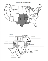
Using the Trick Geography USA course for our example, lessons begin with the northeastern region of the U.S. The student book has a map of the region with a “dot-to-dot” sort of drawing illustrating the key word or phrase for the name of the state. Some interior details of the drawing are already on the map such as a bird’s eye. Students identify each state and look at its shape. Students will also look at a map of the U.S. that has only outlines of states with no mnemonic devices, and they should be able to identify each of these states they are about to learn. Next they connect the dots to outline the shape of the object. Students then fill in blank lines with the trick words. The real name of each state is already typed onto this page. Students review each region by saying both the trick words and the states’ names.
After students have worked through all of the regions, they go back and complete similar lessons to learn the state capitals. However, this time, they will be using a “trick sentence” which connects both the names of states and their capitals together.
Physical features for the U.S. are learned with only two maps—one for bodies of water and the other for mountains, deserts, and plains.
Trick Geography USA should only take from five to seven weeks to complete. For the USA course, four matching tests are at the back of both teacher and student books, but the answer key is only in the teacher’s guide. Two pages of optional activity suggestions in the teacher’s guide offer some useful ideas to reinforce learning. The four other continent courses are similar in layout.
The much longer Trick Geography World course should take from 25 to 35 weeks depending upon the ages and abilities of students. Tests for the World course are in a separate book, and each student needs his or her own student book and test book. The World set includes the teacher’s guide, student book, and test book.

