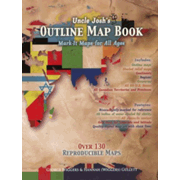
Uncle Josh's Outline Map Book is available as a printed book, on a CD-ROM, or as a digital download. The 8.5" x 11" book features more than 130 reproducible, detailed outline maps that can be used by students of all ages. "General Instructions" at the beginning of the book offers suggestions for using the maps, even for literature and science studies. There are maps of the world, countries, ancient civilizations, the United States, and individual states. Maps outlines are extremely detailed, for example, including the little islands off the coast of a country. Rivers and bodies of water are lightly shaded, so they might still be colored. Longitude and latitude lines are shown, and there is a scale on each map.
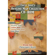
Uncle Josh's Outline Map Collection CD-ROM and the digital download version of the book both have more than 260 maps. In addition to all of the maps that are in the printed book, there are maps of all Canadian provinces, relief maps, and unusual maps such as one for hurricane tracking.