


Continental Press has been publishing Map Skills books for decades, and they remain one of the most effective and easy-to-use resources for learning about all sorts of maps (including transit system maps), the globe, geographical features, time zones, climate zones, and other geography topics.
These 48-page, full-color workbooks for grades two through eight have inexpensive teacher’s guides with overprinted answers. Both student and teacher books are available in print or as ebooks (licensed for one year). Ebooks are in a proprietary format that includes a tool for writing, but I think the printed books are easiest for students to use.
The series has six books:
- Level B - grade 2
- Level C - grade 3
- Level D - grade 4
- Level E - grade 5
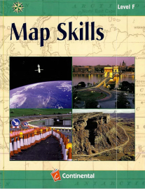
- Level F - grade 6
- Level G - for grades 7 or 8
In Level B, students often circle correct responses, and the series gradually increases the number of written responses required. Each book offers a wide variety of content, so students are likely to enjoy completing the pages. Independent readers should be able to work on their own through most lessons. While books should be used in order because of increasing levels of difficulty, they need not be used at the specified grade levels.
This series does an excellent job of teaching how to read and interpret various types of maps, such as political, climate, and physical maps. Students learn about directions (north, south, east, west), using grids to find locations, identifying rivers and other bodies of water, and much more. Practical lessons in every book help students apply what they have learned. The last two pages in each book serve as a glossary.
Our present-day reliance on cell phones for navigation has diminished our map-reading skills, yet there are times when those skills are still needed. In addition, the analytical skills students acquire from these books carry over into other subject areas and real life.